News
Mapping the campus for the future
Published: 16 June 2020

Alnarp Campus is situated in the increasingly urbanized Öresund region. With its vast park and outdoor areas, it is more than an island of outdoor leisure; it aims to develop into a unique venue for students, scientists, and society actors – a Green Living Laboratory for sustainable development.
In the upcoming development plans, big changes are being discussed, e.g. building a railway connection to Alnarp, and increasing the amount of housing and office space on the campus. At the same time there is a strong interest in developing the campus outdoor areas, which include, for example, the Landscape laboratory, Rehabilitation garden, Lönnstorp experimental fields, and the plant collections. Indeed, the whole campus landscape and its green connections to the neighbouring municipalities are seen as a unique resource.
These areas are called Alnarp Campus Outdoor Laboratories, ACOL. ACOL is the abbreviation used internally to refer to the whole campus outdoor area, i.e. not only the spaces that already have formal laboratory status. A core team, consisting of people from various departments and both faculties at Alnarp, has been active since 2017. Guest professor Susanna Lehvävirta initially called this group together to support the development of the so-called Landscape laboratory. However, it soon became evident in campus-wide brainstorming workshops that it is important to focus on the whole campus area, and ACOL was born.
Now Anna Bengtsson is taking the lead for this group, with an important immediate practical task: to ensure that the mapping of the ACOL area is initiated during the summer of 2020.
Why do we need to map the outdoor areas of Alnarp?
“Alnarp campus outdoor areas provide a valuable resource for teaching, research, design experiments, and collaboration at SLU. It can be seen as a physical example of how we at SLU actually practice what we preach. However, not all of us working and studying at Alnarp know of the valuable resources that already exists here. The ACOL-group believes that it is extremely important that interested colleagues, as well as external actors and developers, can easily identify opportunities for collaboration. Alnarp Campus would be the perfect place to show in what ways our research and teaching could lead to an environment that is a resource for those of us who work and study here, not just to our research and teaching, but also to our own health, well-being and development,” says Anna Bengtsson.
Comprehensive and easily accessible information is needed for everyone working or studying on the site, and for those visiting for whatever reason. This would make it easier to navigate and to find the key facilities and contacts, not just for now but in the future; SLU has an ambition to double the amount of students by 2027, and they will need to find their way around.
“Mapping will also improve collaborations across organizational and scientific borders, and synergies in teaching, research, and other activities,” says Susanna Lehvävirta.
Additionally, mapping will make visible the outdoor facilities and what is happening here, as the campus has many different target groups and visitors.
“For example, Suzanne Mathew, landscape architect from Rhode Island School of Design, in the US, has been working with the Landscape lab as a researcher and teacher, and is finding the campus a great place for landscape studies in an urban context,” says Anna Bengtsson.
How is the mapping being done?
Much of the available data about ACOL is held within departments, research groups, or by individuals, and therefore is not widely accessible. The solution is a campus Spatial Data Infrastructure (SDI), i.e. a common point of access for data. As a first step to develop an SDI for Alnarp, we have agreed with the SLU GIS (Geographic Information Systems) support team to use the SLU MapMonster service as a repository for spatial data about the campus. The data could be anything that has a location on a map, for example areas being used for certain activities, such as research, teaching, or recreation, or areas representing certain aspects, such as history, biodiversity, or environmental psychology.
“There is no limit to what spatial data could be relevant,” says Anna Bengtsson.
What is the next step?
The next step will be for the ACOL-group to collect material from both internal and external actors to incorporate into the SLU MapMonster.
“We believe it is important to continuously inform, discuss, and engage people in the Alnarp Campus development. The Alnarp Campus MapMonster is crucial to our work and for people working at SLU Alnarp to be able to show, both in an educational context and to the outside world, how different aspects of our research and teaching are expressed in our own physical environment”, says Anna Bengtsson.
-
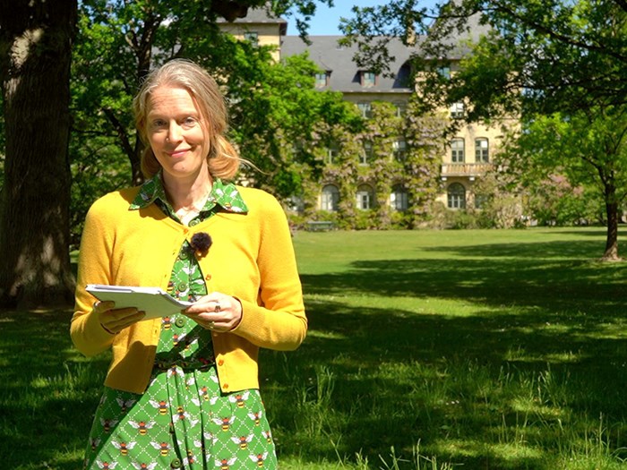
Anna Bengtsson
1/6
-
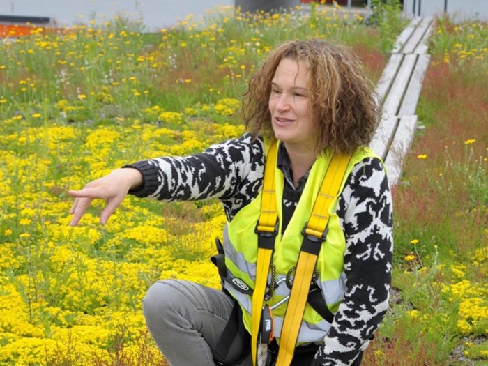
Susanna Lehvävirta
2/6
-
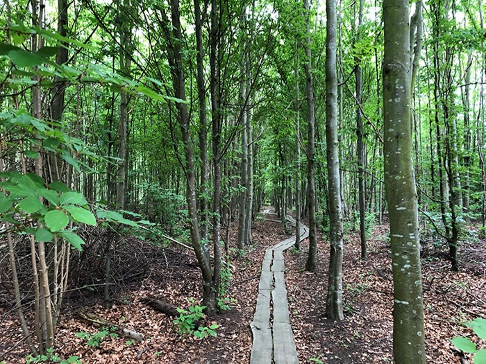
Alnarp Landscape Lab. Photo: Camilla Zakrisson Juhlin
3/6
-
Campus Alnarp. Photo: Mårten Svensson
4/6
-
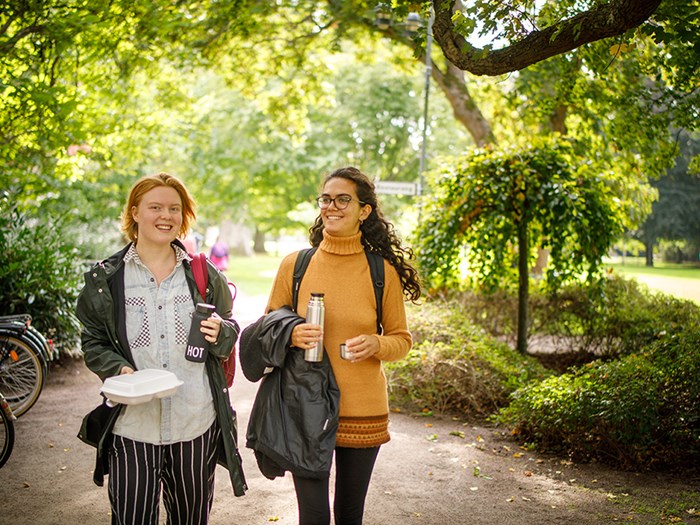
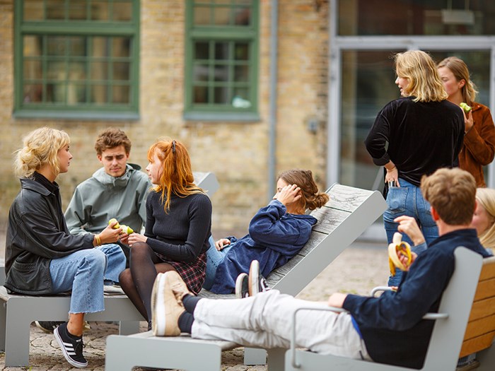
Students at Campus Alnarp. Photo: Mårten Svensson
5/6
-
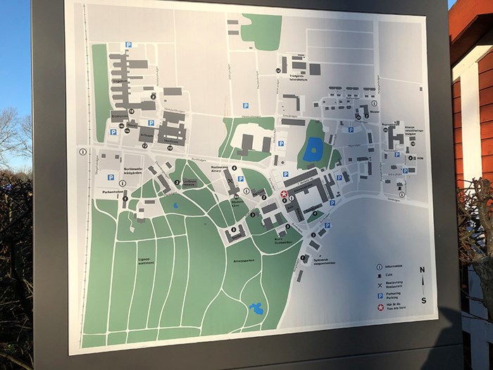
Map of Campus Alnarp. Photo: Camilla Zakrisson Juhlin
6/6


Contact
anna.bengtsson@slu.se, +46 40 415170